
Parks & Outdoors
Greenways: Open Routes vs. Planned Connections
A line on a master plan is not a trail you can walk. We separate open segments from planned, funded, and under-construction ones.
Last reviewed October 2026 · Mount Holly Living Editors
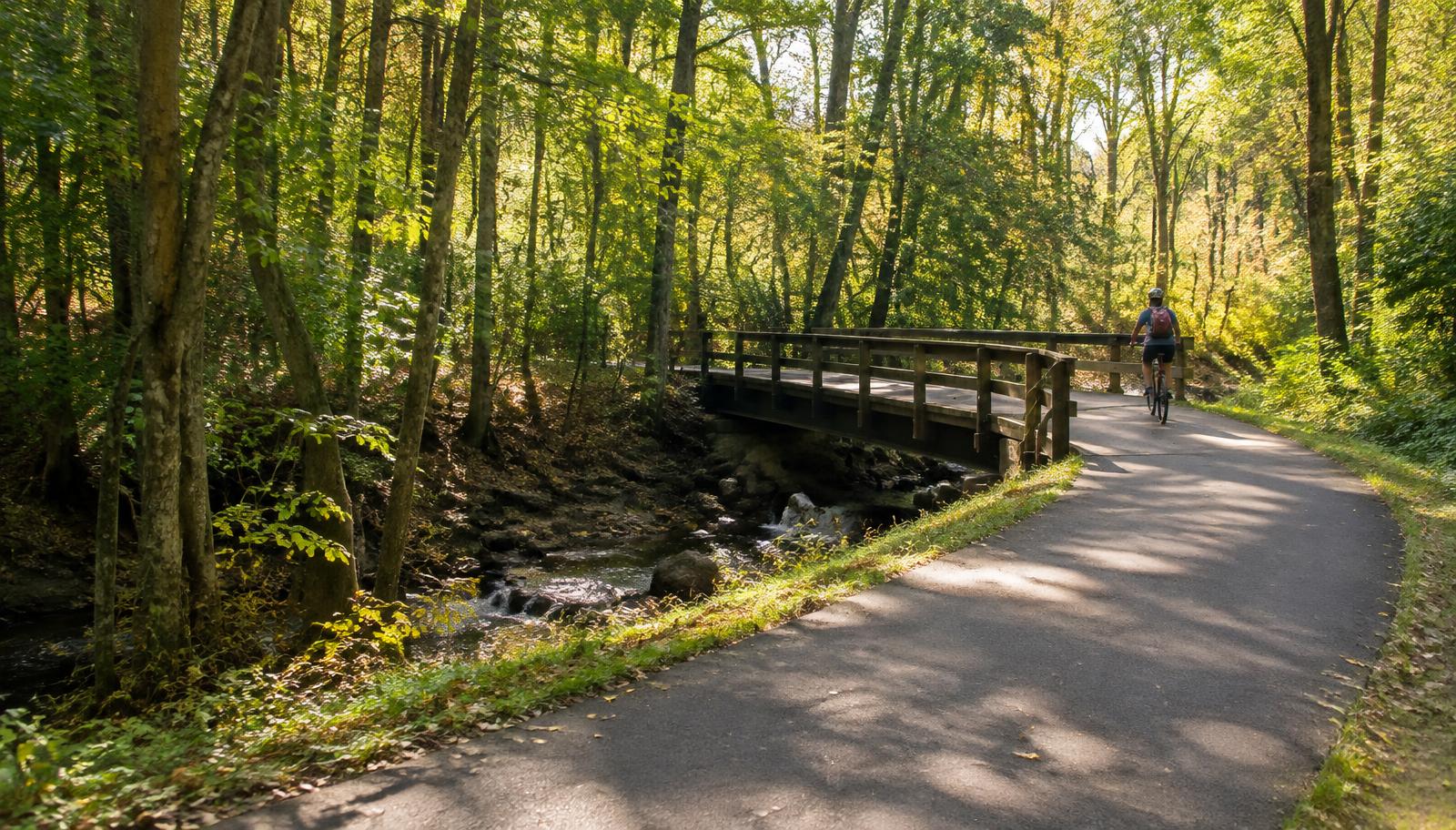
For each segment we record
- Official name and managing agency
- Verified entrance and official map
- Open length and surface where known
- Accessibility details where verified
- Rules, closures, last checked
What we won’t claim
No continuous riverfront trail, cross-river walking link, or public route over private land unless officially open.
How to Check Mount Holly, NC Greenway Boundaries and Public Access Rights
When researching a greenway near Mount Holly, start with the parcel rather than the mailing address. Mount Holly is its own city in Gaston County, and a Mount Holly address does not establish that land falls inside city limits. Consult Gaston County GIS for parcel and jurisdiction context, then ask City of Mount Holly planning staff to clarify any boundary questions. This helps identify which agency should answer questions about access and adjacent land.
Property ownership and permission to cross property are separate questions. A parcel map alone does not establish a public recreational access right, and an easement may serve utilities or another limited purpose. Consult the Gaston County Register of Deeds for recorded instruments, and ask the relevant public agency how those documents apply to the route. For neighborhood connections, review the HOA’s recorded documents rather than treating a visible path or gate as proof of public access.
Researching Street Crossings and Approaches to Mount Holly Greenways
Assess the approach to a greenway separately from the greenway itself. If you expect to arrive on foot or by bicycle, ask whether the connecting streets have sidewalks, designated crossings, or other facilities appropriate for your needs. Confirm roadway responsibility with City of Mount Holly planning staff or NCDOT before relying on a map’s suggested approach. A navigation app can suggest a connection without establishing whether that approach offers a suitable place to walk or ride.
For a crossing question, describe the location and intended movement instead of asking only whether the area is walkable. Ask the responsible agency about crossing controls, curb ramps, sight lines, and any official restrictions affecting the approach. If roadway work could change access, consult NCDOT or the city, depending on jurisdiction. Keep separate notes for the trail and its street connection so that confirmation about one does not become an unsupported assurance about the other.
Checking Greenway Access Claims When Researching Mount Holly Neighborhoods
When evaluating a home near a Mount Holly greenway, distinguish proximity from a legally usable neighborhood connection. Ask where residents are permitted to enter, whose property the approach crosses, and whether access depends on HOA membership or another recorded right. Use Gaston County GIS to orient the inquiry and the Register of Deeds to research relevant documents. Have the HOA identify the recorded provisions supporting any neighborhood access claim, rather than relying on promotional descriptions.
For undeveloped land beside a potential connection, ask City of Mount Holly planning staff which adopted plans, approvals, or recorded conditions apply to the parcel. A planning designation should not be treated as a guarantee about future views, privacy, or access from an adjoining home. Where a proposed approach intersects utility property, ask City of Mount Holly utilities whether it has jurisdiction and who can confirm permitted uses. Verify parcel-specific conclusions with the responsible official source.
Frequently asked questions
Are dogs allowed on greenways in Mount Holly, NC?
Check the managing agency’s current rules for the specific route before bringing a dog. Ask about leash requirements, waste disposal, and any restrictions affecting adjoining property or access points. Do not assume that permission on a neighborhood path carries over to a public greenway, or that the same rules apply across jurisdictional boundaries.
Can you ride an electric bike on Mount Holly greenways?
Ask the route’s managing agency whether its rules distinguish conventional bicycles, electric bicycles, and other motorized devices. Confirm whether any permission depends on the device’s classification or applies only to particular areas. Rules for a roadway approach do not necessarily determine what is permitted on the greenway itself; verify both with the responsible agencies.
How can I check whether a Mount Holly greenway is wheelchair accessible?
Ask the managing agency about the entire trip from arrival to turnaround, not just the trail surface. Useful questions cover slopes, cross slopes, clear width, gates, curb transitions, resting opportunities, and temporary obstructions. Describe the features you need and request current official information rather than treating a general accessibility label as a complete assessment.
Who do I contact about a problem on a Mount Holly greenway?
First confirm who manages the location, especially near a city boundary or neighborhood connection. Ask City of Mount Holly staff to identify the responsible agency if ownership or maintenance responsibility is unclear. Provide a precise location and describe the condition. For an issue on a connecting road, verify whether the city or NCDOT is responsible.
These answers are general guidance. Confirm specifics with the responsible authority before relying on them.