
Parks & Outdoors
River Access Around Mount Holly
Public river access exists at specific managed sites. This guide lists only verified entrances — never approximate shoreline pins.
Last reviewed October 2026 · Mount Holly Living Editors
Rules of thumb
- Use official entrances only
- Don’t assume a boat launch exists
- Don’t assume swimming is permitted
- Never cross private property
- River conditions change — check releases and advisories
Verified access points
Entries publish with managing agency, official map, rules, and last-checked date as they are verified.
How to Research Riverfront Property and Access Boundaries in Mount Holly, NC
When researching river access around Mount Holly, start by separating a postal address from a jurisdictional boundary. Mount Holly is its own city in Gaston County, and a Mount Holly mailing address does not establish that a property lies inside city limits. Consult Gaston County GIS for parcel and municipal boundary information, then ask City of Mount Holly planning staff to clarify jurisdiction when a location appears close to a boundary.
Parcel ownership and access rights require different checks. Use Gaston County GIS to identify the parcel, then consult the Gaston County Register of Deeds for recorded easements, plats, and restrictions. A path visible on an aerial image does not establish a public right to use it. If an access claim depends on a neighborhood amenity, review the HOA’s recorded documents and ask who may use the area, including guests and nonresidents.
What to Check Before Planning a Kayak Outing Near Mount Holly
A useful paddling plan checks the entire outing rather than just the starting location. Ask each site’s managing agency whether its published information addresses carry-in access, trailer access, unloading arrangements, parking restrictions, and retrieval procedures. Confirm whether the intended exit location supports the same activity as the starting point. These details help distinguish a workable route from a map-based assumption, especially when different agencies manage the locations under consideration for an outing.
For a route involving lake shoreline, identify the waterbody and the authority responsible for the particular shoreline question before relying on neighborhood descriptions. Consult Duke Energy lake services about shoreline matters within its authority, and ask the site manager about visitor use. Keep shoreline permissions separate from permission to use a neighborhood facility. If an HOA amenity is involved, check its recorded documents rather than treating a property description or informal recommendation as authorization.
Checking Parking and Accessible River Routes Around Mount Holly, NC
Evaluate the route from the vehicle to the water as carefully as the destination itself. Ask the managing agency about designated accessible parking, surface materials, slopes, steps, rest areas, and any transfer assistance features. An accessible parking space alone does not answer whether someone can reach a viewing area or use a paddling facility. Request an official accessibility description and explain the particular mobility requirements that need confirmation before making plans.
For the approach by road, use NCDOT’s official information to investigate state-maintained road restrictions or closures, and contact the relevant local authority about other streets. Ask the site manager how entrance gates, parking availability, unloading, and vehicle retrieval are handled. Where municipal utility work could affect the approach, verify the specific location with City of Mount Holly utilities. Avoid assuming that a navigation app accounts for access restrictions or temporary work.
Frequently asked questions
How do I find public river access in Mount Holly, NC?
Research both the site and its jurisdiction. Gaston County GIS can help identify parcels and municipal boundaries, while the managing agency should confirm public use and permitted activities. If access depends on an easement, consult the Gaston County Register of Deeds. A Mount Holly mailing address alone does not establish that the location is within city limits.
Can you launch a kayak near Mount Holly?
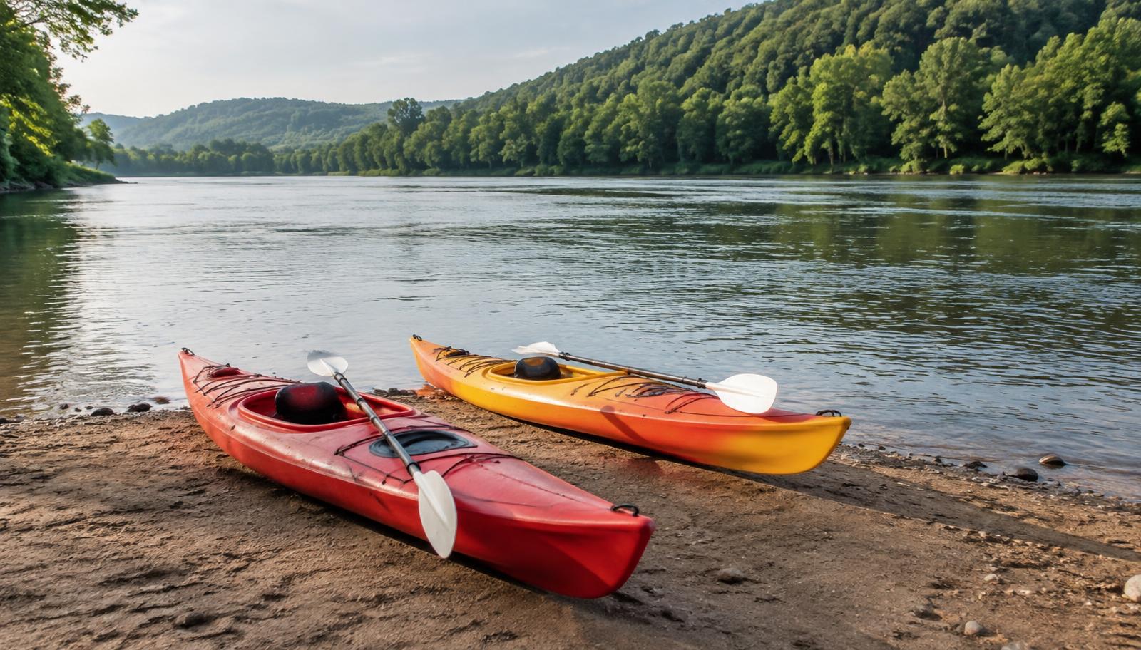
Ask the specific site’s managing agency whether carry-in kayak launching is authorized and how unloading and parking work. For a point-to-point outing, verify retrieval arrangements at the intended exit as well. If your plan involves a neighborhood facility, consult the HOA’s recorded documents to establish eligibility rather than assuming visitors can use it.
Do you need a fishing license to fish near Mount Holly?
Verify current license requirements and any applicable exemptions with North Carolina’s official wildlife agency before fishing. Separately, ask the site manager whether fishing is allowed in the area you intend to use. Check regulations for the particular waterbody and method, because permission to enter a recreation site does not settle licensing or fishing restrictions.
Is river access near Mount Holly wheelchair accessible?
Request location-specific accessibility information from the managing agency. Ask about the continuous route from parking to the intended activity, including surfaces, slopes, steps, and transfer features. Clarify whether an accessibility description refers to a viewing area, trail, or water-entry facility; those are different uses and should not be treated as interchangeable.
These answers are general guidance. Confirm specifics with the responsible authority before relying on them.